Build coverage around the actual site.
The flight boundary, altitude, image overlap, access, airspace, weather, and safety plan are reviewed before launch. RTK-assisted image positions support consistent processing.
Wisconsin Aerial
 Wisconsin AerialRequest Service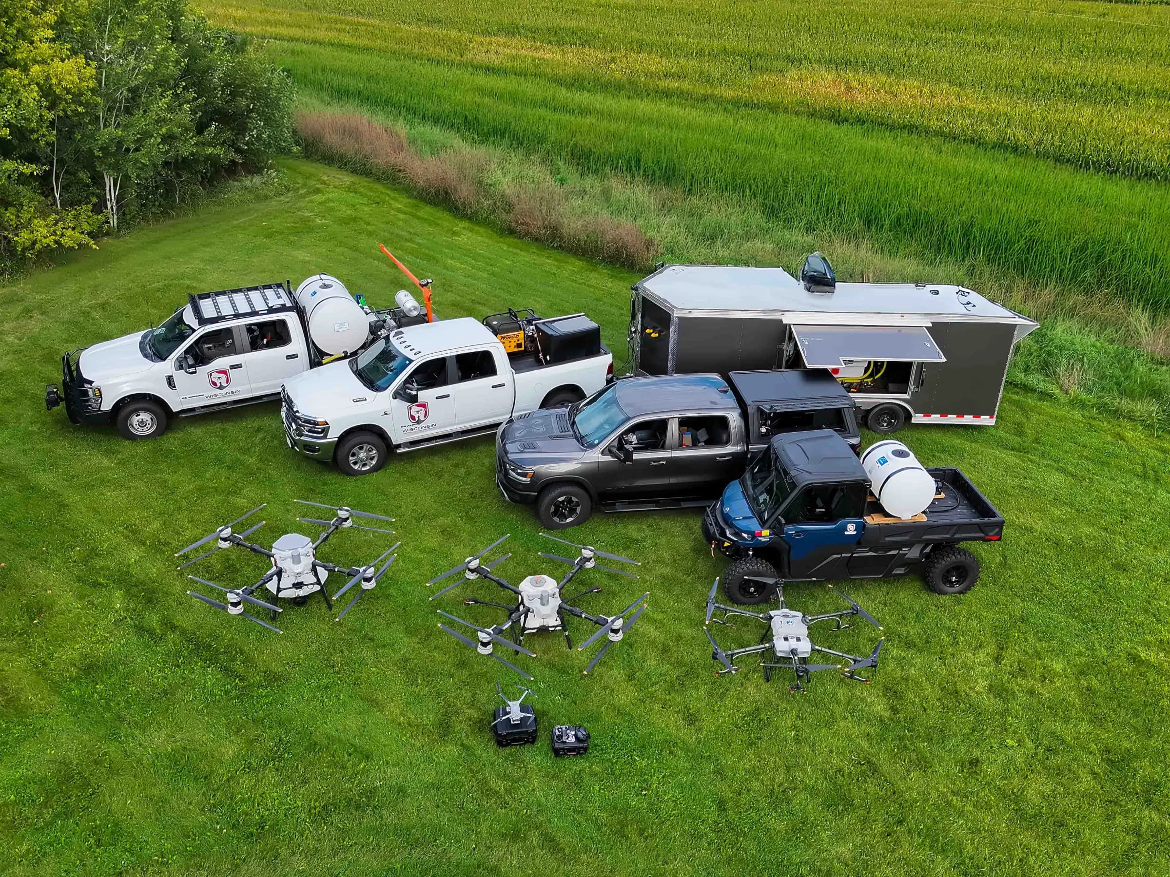
Wisconsin Aerial-owned field image · Team and equipment photographed from the air
Aerial mapping & orthomosaics
One site. One current picture.
Ordinary aerial photographs show individual viewpoints. An orthomosaic combines a planned set of overlapping images into one continuous, high-resolution view of the site.
The result supports conversations about access, layout, visible conditions, project progress, and land-use planning while preserving a dated visual record.
How the work comes together
The flight boundary, altitude, image overlap, access, airspace, weather, and safety plan are reviewed before launch. RTK-assisted image positions support consistent processing.
Overlapping photographs are processed into a continuous orthomosaic, then reviewed for blur, gaps, seams, alignment issues, and other visible defects.
A typical package includes a GeoTIFF, a high-resolution JPEG, and selected aerial photographs. Exact outputs and turnaround are confirmed before the project begins.
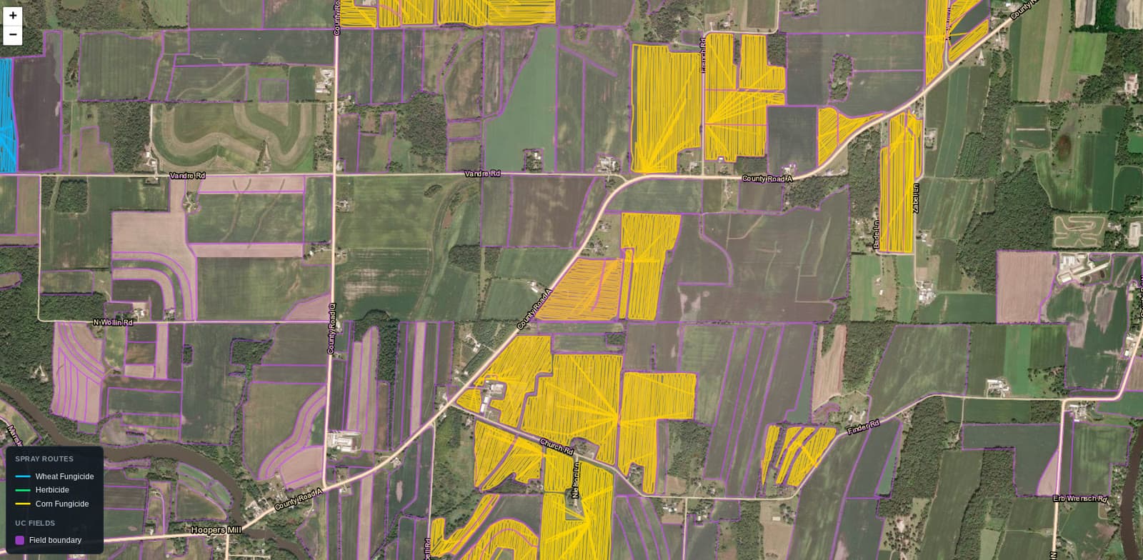
Planning evidence
Reliable mapping starts with the shape of the site. We review boundaries, flight lines, image overlap, terrain, obstacles, access, and the purpose of the finished imagery before capture.
Where it helps
Document access, visible features, current conditions, and the overall relationship between areas of a property.
Create dated site views for planning discussions, progress records, and stakeholder communication.
Capture a connected field view for boundaries, drainage patterns, access planning, and visual documentation.
Provide a broader visual context for buildings, yards, routes, and surrounding conditions.
Clear operating boundary
Standard Wisconsin Aerial orthomosaics are intended for visualization, documentation, and general planning. They do not establish legal property lines and should not be used as certified survey, engineering, or construction-control documents.
If a project requires guaranteed positional accuracy, ground control, certified boundaries, engineering measurements, or licensed survey work, tell us during scoping so the appropriate workflow or partner can be identified.
Start with the site
Include the address, parcel number or boundary file, requested deliverables, preferred completion date, and any access instructions. Projects are reviewed individually; longer-distance work includes travel and mobilization.
An orthomosaic is a collection of overlapping aerial photographs processed into one corrected, map-like image that can be viewed, shared, and used as a current visual record of a site.
No. Wisconsin Aerial's standard mapping service is intended for planning, visualization, and documentation. It does not establish certified property boundaries and is not a substitute for a licensed land survey or engineering deliverable.
A typical project may include a high-resolution GeoTIFF orthomosaic, a high-resolution JPEG, selected overview and oblique photographs, and an approximate parcel-reference overlay. Final deliverables are confirmed in the written scope.
Project locations are reviewed individually rather than limited by a fixed public radius. Longer-distance assignments include an appropriate travel and mobilization expense.
Send the project address, approximate acreage, intended use, requested deliverables, preferred completion date, access information, and a KML, KMZ, parcel number, or boundary file when available.
Turnaround depends on acreage, weather, airspace, site access, processing, and quality review. A typical project target is approximately five business days after a successful flight, but the written scope controls.