Wisconsin Aerial
Loading the next flight path…
Preparing this page. No request has been submitted.Wisconsin Aerial
 Wisconsin AerialRequest Service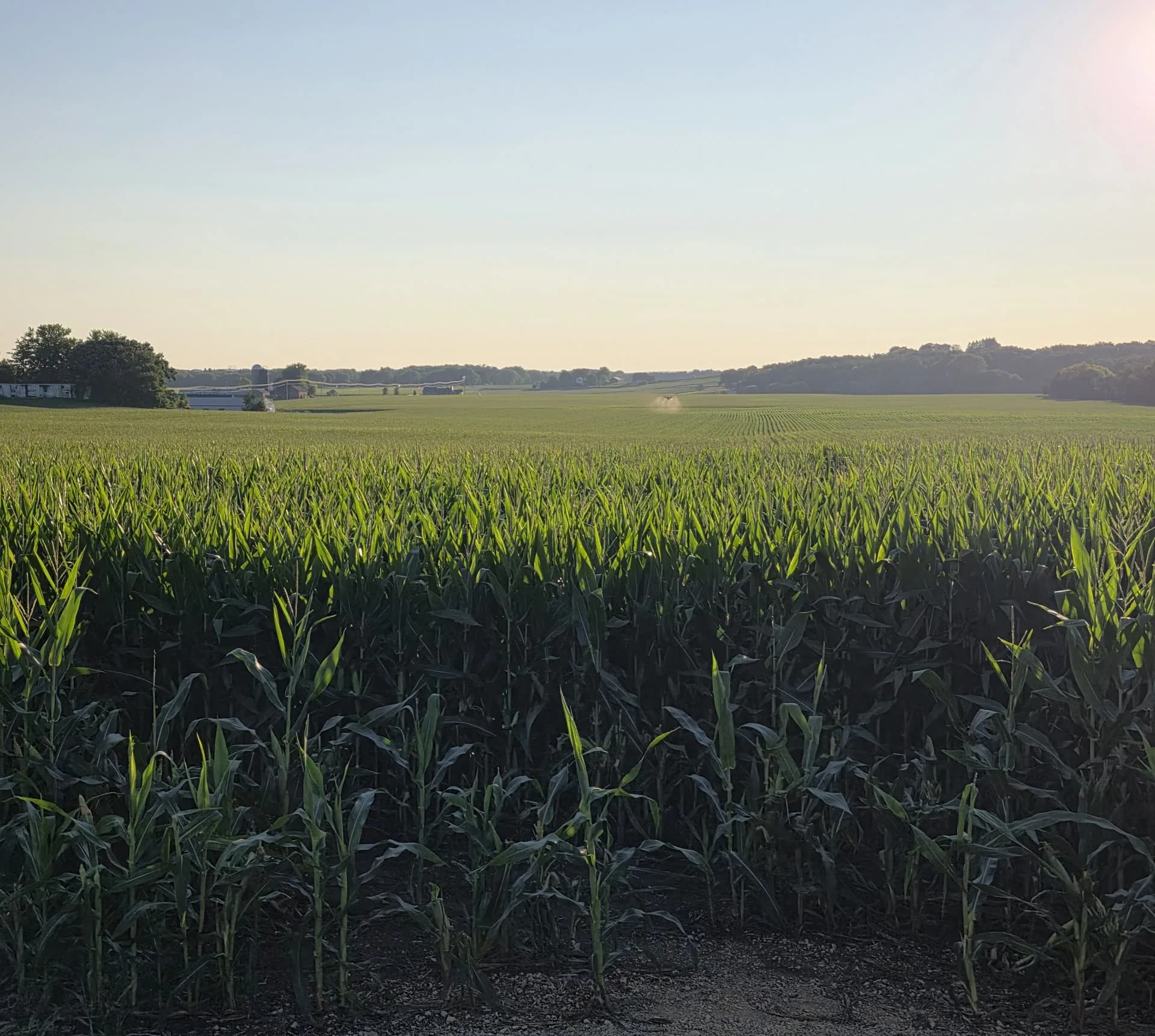
Wisconsin Aerial agriculture equipment in the field.
Wisconsin agriculture · Agriculture Service Area
A practical field plan
Wisconsin Aerial is based in Columbus, Wisconsin. We consider agriculture projects individually rather than drawing a hard line around a mileage radius. The field location, scope, timing, and access determine how we organize equipment and crew travel.
Send your field information through our quote form, or call 920-212-6088 to talk through the job. Scope, price, and availability are confirmed before booking.
Plan your project
Share a field address or map pin, acreage, and access details.
Include the crop, proposed product or seed, and preferred window.
We discuss equipment fit, scheduling, and a quote that accounts for the job and travel.
Yes. Send your field location and project details. We consider farther projects based on scope, timing, and operational fit.
Longer-distance work includes a travel or mobilization charge. We explain those costs in the project quote before you book.
Yes. Include the location and acreage of each field so we can discuss routing, access, and scheduling as one project.
A field address, map pin, or coordinates along with acreage and access details gives us a useful starting point. Include your proposed application and timing.
Let’s talk acres
A quote request starts the conversation; it does not commit you to a booking.